02090 is zip code located in Westwood, Massachusetts. The population is 14,616, making 02090 the largest zipcode in Westwood.
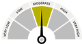
There are 8 public schools in 02090 with an average Homefacts rating of A. The total crime rate for Westwood is low , and there are 0 registered sex offenders residing in the zip code 02090. Unemployment in 02090 is low.